Roads Govern Land Before They Move Traffic.
A permanent access regime rewrites power before transport.
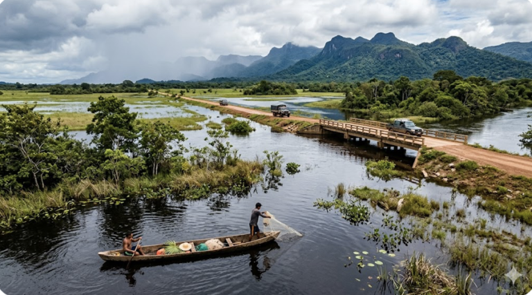
A paved road in a tropical wetland does more than move vehicles. It redirects water, raises land prices, opens forest interiors, and changes who can enter and stay. In the Florida Everglades, the Tamiami Trail severed sheet flow into Shark River Slough. In the Brazilian Amazon, BR-319 became a spine for extraction. Both turned a roadbed into a permanent access regime that reorganized hydrology, extraction, and territorial control.
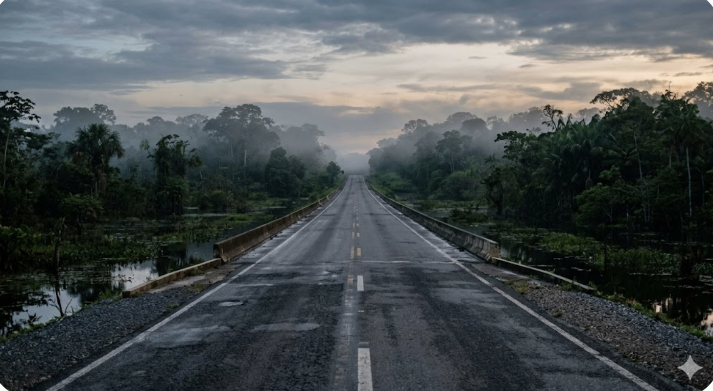
The BR-319 “Trecho Meio” controversy in Amazonas brings the question to the present. Paving a 400-kilometer forest corridor through the Trans-Purus region is not a transport debate. It is a dispute over land speculation, unofficial feeder roads, Indigenous exposure, and whether governance can keep pace with permanent access. Three arguments organize the analysis. First, paving reorganizes land and water governance before it improves transport. Second, roads reduce isolation costs while weakening the ecological and territorial systems that sustain local livelihoods. Third, environmental outcomes depend less on the paved strip than on whether governance and engineering control the secondary economy that paving unlocks.
Paving creates a permanent access regime before it moves vehicles.
Land prices and territorial control shift first
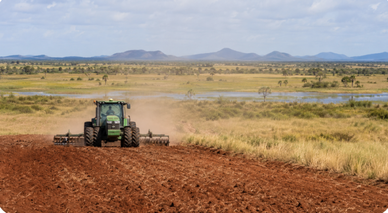
The strongest effects of paving often arrive before the road opens. Along BR-319, the announcement of rehabilitation triggered speculative land grabbing and accelerated clearing. In 2021, deforestation in the road’s influence zone rose 41%. In Tapauá municipality, clearing around unpaved sections surged 192%. Vehicle access was not the mechanism. Paving expectations re-priced land and pushed actors to establish claims before enforcement could respond.
Paving also shifts territorial control. Seasonal mud and poor roads slow extraction and speculative occupation. All-weather corridors remove that friction and hand the advantage to actors with capital, machinery, and legal leverage. Speculators secure fraudulent titles. Loggers and miners push into previously seasonal frontiers. The enforcement burden falls on IBAMA and the federal police, both already operating below strength in the field.
The Everglades: a road that became a dam
The Everglades shows that roads physically reorganize water governance, not metaphorically. The Tamiami Trail served as a continuous embankment, severing historic sheet flow into the Northeast Shark River Slough. Conventional culverts forced diffuse wetland water through narrow channels, impounding it upstream and drying the marshes downstream. Salinity shifted, southern marshes desiccated, and the Everglades passed into a managed water-control regime.
Correction required expensive retroactive engineering. The National Park Service, USACE, FDOT, and the South Florida Water Management District turned to elevated bridging and wide-span flow-diversion structures. By 2019, 2.3 miles of bridging were complete, and later phases targeted further reconstruction and roadway raising.
Ciénaga Grande: the same pattern on the Caribbean coast
The Ciénaga–Barranquilla highway on Colombia’s Caribbean coast carries the same lesson. Built in the 1950s across the Ciénaga Grande de Santa Marta wetland complex, the road formed a continuous embankment between the sea and the mangrove lagoons fed by the Magdalena River. It blocked tidal exchange and sheet flow, cut freshwater inflows, and drove hyper-salinization of soils and lagoons. In parts of the system, 56 to 70 percent of mangrove forests died, fisheries collapsed, and wetland livelihoods deteriorated. A later road, parallel to the Magdalena, compounded the damage by further reducing freshwater exchange. As with the Tamiami Trail, correction came decades later through expensive hydraulic retrofits and culvert interventions. The Ciénaga Grande de Santa Marta Biosphere Reserve is now a reference case for wetland hydrology, road ecology, and restoration engineering.
The proponents’ rebuttal
Road proponents argue the opposite. They treat highways as neutral engineering projects and attribute land speculation and ecological damage to separate planning failures. Zoning and enforcement do matter. But the pattern is consistent: paving itself changes incentives and territorial dynamics long before regulators can respond. The governance shift begins at the announcement, not at the ribbon-cutting.
The permanent access regime cuts both ways for forest livelihoods.
The mobility case
Paving lowers vehicle maintenance costs, stabilizes supply chains, speeds emergency transport, and shortens the trip to school. Governments lean on these gains to justify the spending. Guyana’s Georgetown-Lethem corridor is sold on exactly this logic: market integration, tourism, agriculture, and regional development.
Who bears the costs
The livelihood effects are uneven because the infrastructure that improves mobility also lowers the barrier to extraction. In wetlands and forests, drainage works alter the flood pulse that fisheries, wildlife corridors, and non-timber forest products depend on. Year-round access lets loggers, miners, and speculators reach Indigenous territories that wet-season impassability once protected.
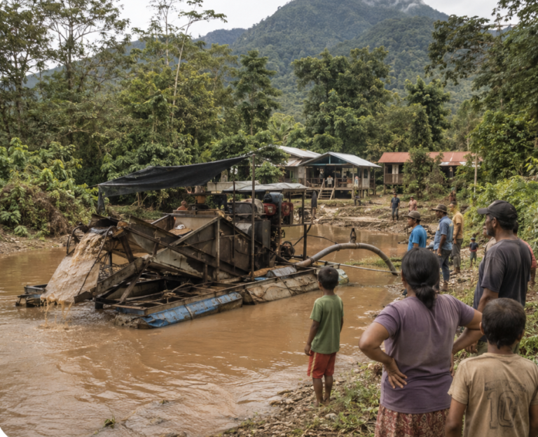
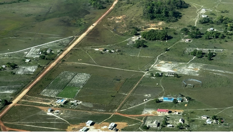
BR-319 sits at the sharp end of this split. Fishbone feeder roads branch off the main highway and push extraction deep into intact forest, with illegal logging, mining, and cattle following the new tracks. In Guyana and across the Guiana Shield, paving subsidizes mining directly by collapsing transport costs to remote camps. Mercury follows the same routes into aquatic food webs, then into fisheries and the people who eat them.
Legal recognition and Indigenous response
The effects fall unequally because legal recognition does. Many Indigenous communities hold customary lands without full title. The Amerindian Act of 2006 confines village-consent protections to formally titled villages, leaves untitled customary territory open to concessions, and preserves a government override for large-scale mining deemed in the public interest even on titled land. State agencies have, in the past, waved through mining and logging claims over customary use.
Indigenous communities are not passive in this. District Toshaos Councils coordinate regional responses to concessions and land pressure. The Wapichan people of the South Rupununi have proposed a 1.4-million-hectare Wapichan Conserved Forest covering the eastern and southern parts of their territory, closed to industrial logging and mining under their territorial management plan; the area remains largely untitled, and the South Rupununi District Council is still pressing the government to recognize the proposal. Indigenous Navigator monitoring builds the evidence base on rights violations and land insecurity.
The Miccosukee parallel
A version of the same trade-off plays out on Miccosukee Tribal Lands beside the Tamiami corridor. The water-management changes meant to restore Everglades flow also redistribute flood risk across traditional tribal spaces. The Miccosukee Tribe opposed parts of the original bridge design and has since sought funding to elevate settlement areas exposed by the new hydrology.
The aggregate-welfare rebuttal
A rival reading argues that aggregate welfare gains outweigh these losses, citing GDP growth, lower transport costs, and broader access to services. The harder problem is that the non-market losses on the other side of the ledger are barely measured at all.
The permanent access regime decides the real damage.
Off the paved strip
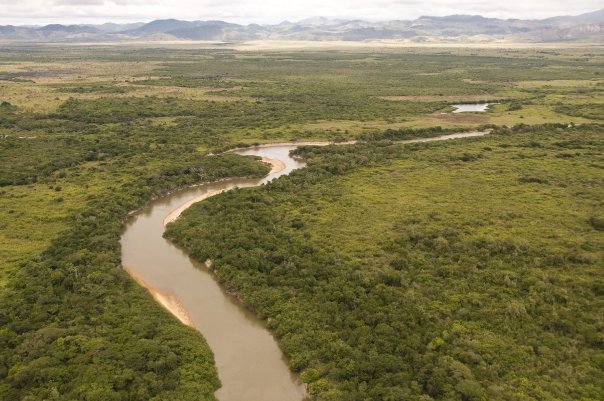
The damage from paving largely happens off the paved strip. Across the Brazilian Amazon, 94.9% of deforestation falls within 5.5 km of a road or 1 km of a navigable river. Informal road networks now run nearly three times the length of the official highway system. These unmapped “ghost roads” carry extraction far into the interior forest before any map shows them.
Induced access matters more than pavement width. BR-319 functions as a spine: unofficial feeders cut by loggers, miners, and local actors turn a single corridor into a widening extraction frontier. Licensing lags. FPIC consultations are compressed into a procedure. Protected areas and Indigenous territories carry enforcement pressure far past the highway right-of-way.
Engineering is not the bottleneck.
Roads through wetlands and forests are not technically impossible. Wide-span bridges, floodways, geomorphic simulation culverts, and distributed low-head culvert arrays all work. The problem is sequencing and scale. Narrow footprints and delayed mitigation compound ecological costs while induced frontier expansion outpaces whatever institutions are meant to govern it.
Enforcement decides outcomes
Protected status helps, but unevenly. Where enforcement is real, clearing rates near roads drop sharply. Where enforcement is thin, the designation matters little. Agencies, including the Guyana Protected Areas Commission and the Guyana Forestry Commission, remain badly understaffed relative to the frontier pressures they are supposed to govern.
The price of delayed mitigation
The Tamiami retrofit puts a price on delayed mitigation. Engineers eventually accepted that conventional culverts could not restore Everglades sheet flow, and the correction ran to hundreds of millions of dollars in multi-phase bridge construction. In the Amazon, the same delay shows up as carbon emissions, biodiversity fragmentation, and retroactive enforcement spending. An economic review of seventy-five Amazon road projects found that canceling the economically unjustified ones would avoid 1.1 million hectares of deforestation and save US$7.6 billion.
Infrastructure lobbies dispute the interpretation. They argue that unofficial clearing is an independent criminal activity, not a road effect. The attribution debate is real, but the spatial concentration of clearing along road networks and the fishbone pattern that follows them point hard toward induced access as the better explanation.
The permanent access regime is exposure for the frontier.
The same infrastructure that ends isolation thins out the frontier barriers that protect ecosystems and communities. Dry-season grading, paving, and reliable transport drop costs for emergency services and local trade. They drop costs by the same amount for speculative land occupation, logging machinery, fuel runs, and mining expansion.
The tension shows up across every case here. The Georgetown-Lethem corridor could boost tourism, agriculture, and regional integration if governance holds and ecological systems remain functional. The same corridor could accelerate wildlife fragmentation, floodplain disruption, mining expansion, and land speculation if frontier expansion outpaces institutional capacity.
The BR-319 “Trecho Meio” fight is this frontier problem in miniature. The road is not only an engineering project. It is a permanent access regime that redistributes ecological risk, territorial exposure, and economic opportunity.
Frontier control decides the permanent access regime’s verdict.
The question is not whether roads improve transport. They do. The harder question is whether states, Indigenous institutions, and engineering systems can govern the frontier economy that a permanent access corridor creates around itself.
BR-319 is what happens when speculative expansion outpaces governance. Feeder roads spread before enforcement arrives. Land values rise before titles are clarified. Clearing accelerates before mitigation systems operate. The Tamiami Trail is what happens over the longer run when hydrology is treated as a secondary engineering issue rather than as the defining landscape process.
The trade-off is not “development versus nature.” The sharper trade-off is mobility gains against unequal control over frontier rents. If BR-319 is paved without enforceable controls over feeder-road expansion, land speculation, and consultation failures, forest loss and extractive encroachment will continue to spread beyond the official corridor regardless of what the mitigation paperwork says. For the broader economic and state capacity context of Guyana’s development choices, see Guyana’s Oil Boom 2015 to Today at Watkins Advisory. The historical precedents for how road-building shapes state authority are explored in Guyana 1962–1975 at The Next Wave.
Explore the Rupununi
Dive deeper into the Rupununi’s natural and human world. Explore the region’s ancient geology and Guiana Shield, the remarkable wildlife of the Rupununi, the rich history of human settlement, and the living culture of the people of the Rupununi. Learn more about the authors behind this companion site, and follow the latest thinking on conservation and development in the Rupununi Blog.
Follow the Rupununi on Facebook for new stories, wildlife news, and updates from the book: facebook.com/rupununi.org
Discover more from Rupununi: Rediscovering a Lost World
Subscribe to get the latest posts sent to your email.